
Friday 7 February 2020
Day 1
 |
| Alex and Cradle Mountain |
 |
| Megan and Alex's finger |
Alex and I started walking from the north end of Dove Lake in Tasmania with an 18-20kg (40-44lbs) pack each. We packed for six days, but predicted that we'd cover the 65kms (40mi) Overland Track in four or five days (it didn't happen.) We followed the Eastern Track to the first shelter hut. We though we'd skip a few shelter cabins along the way because they were so close together and our combined marathon training made longer distances possible (a 40+lb pack isn't part of our regular distance training.) We left from the bus drop-off station just before 10am and made it the first shelter cabin at 3pm. We covered eight kilometers (5 mi) in five hours.
 |
| Top half of the map I carried |
Our time on the trail was lengthened by the track unexpectedly climbing over the top of Hanson's Peak which summited at 1185m (3888ft.) The trail was lined with metal posts embedded into the face of the mountain and connected by chains so hikers could pull themselves up. Alex led the way and for about half an hour and I looked up at the soles of his shoes as we pulled ourselves up the the bouldered face.
 |
| Post and chain hike to Hanson's Peak |
It was noon when we sat down for lunch near the summit. I dropped my pack and ran to the top for a quick reconnaissance. It was entirely downhill to the shelter cabin from there so we continued around the base of Cradle Mountain to the Scott-Kilvert hut. The S-K hut is not usually frequented by the Overland Track hikers. The Waterfall Valley hut which is usually the first stop was under construction for the season so everyone was diverted off the main trail down into a very steep valley for alternative shelter. We took the Eastern Track because we didn't want to hike the steep trail twice. We were the first hikers to the hut that day. There is a quota of daily hikers and groups travel roughtly together for a majority of the track. From the reports of the hikers who arrived later we were glad we didn't need to hike down several hundred feet of steep, wet trail at the end of the first day. There was every combination of tears, rage, and bewilderment for such a terrible detour. Even with the hike over Hanson's Peak we were convinced we took the best trail.
I finished my day by jumping into a lake near the hut and starting my wash-and-dry rotation of underwear and socks.
 |
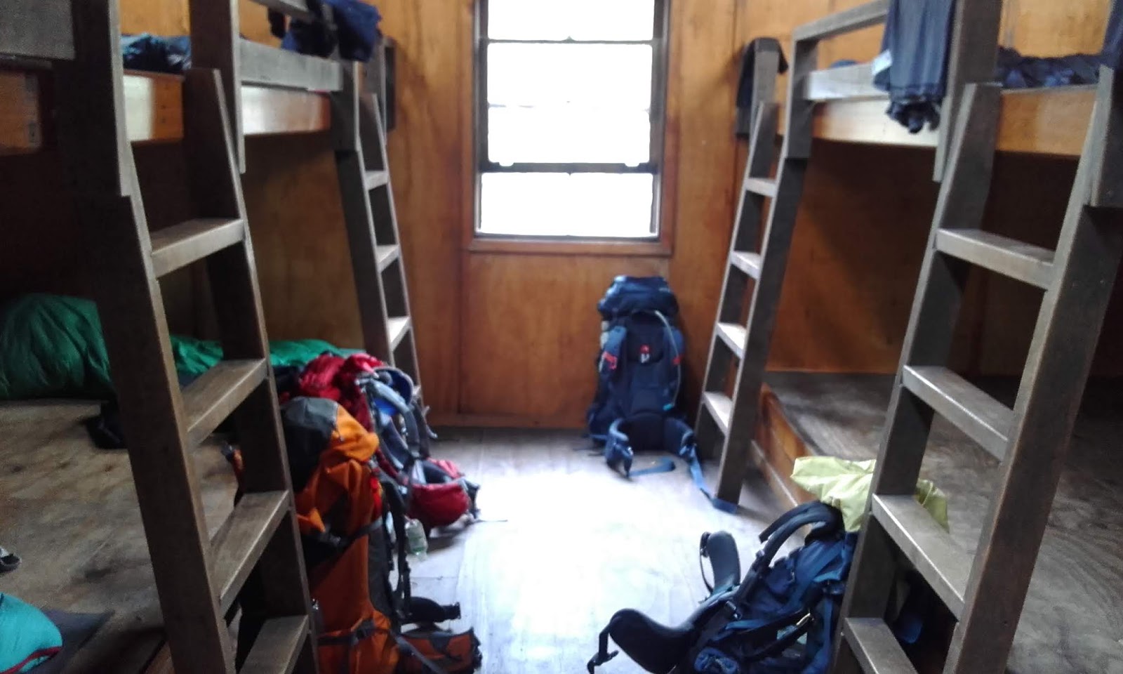
| Scott-Kilvert Hut with underwear hanging out the window |
Saturday 8 February
Day 2
The dreaded hike out. Alex and I decided an early start would be best for us. There were a dozen or so hikers in the S-K hut that night and we didn't want to be playing leap frog on a narrow trail all day. We were awake and on the trail before the fog cleared from the valley. By the time we climbed up to the plateau from whence our fellow hikers descended the sun had burned off the fog.
 |
| Cradle Mountain from the S-K area valley floor |
When I was in grade school I read a book called Holes by Louis Sachar. In it was a conversation between two boys who were interned at a disciplinary "camp" which required them to dig holes all day. The first said, "The first day is the worst." The second replied, "No the second day is the worst because you're already tired and have blisters before even starting." Not quite verbatim, but that's the gist.

Our second day was easily the hardest. It was 12-kilometers of undulating plateau beginning with a 2km slippery clilmb out of the S-K valley. I had blisters on the backs of my heels and could feel a few more starting on my big toes. Bandages and medical tape patched the tender spots which made all the difference in the days to come. (A fellow hiker lost a couple toe nails on the third day and when we saw her on the 6th she said she hadn't even looked at her feet since a fellow MD hiker taped them up.)
After the first day we redistributed equipment, dumped excess water, and felt better about the terraine. Even so, covering the distance while carrying heavy packs and the lack of shelter from the sun made for a long and sun-scorched afternoon. We walked slower as the day went on and were passed by several other hikers.
A couple hundred feet before reaching the second hut we came across another lake. I was overheating and my shoulders were getting a stiff so I dropped my gear and jumped into the lake before finishing the day. A fellow swimmer and I even convinced Alex to wade in for a few minutes. Cool water on a sun-burned body makes for a much easier battle with seizing muscles. We arrived at the second shelter cabin (Windermere hut) at 4:20pm.
At this point Alex was having trouble with his backpack. It didn't fit very well and he was carrying a little too much gear to continue walking comfortably. After talking with the semi-permenant resident Ranger Matt and several of our fellow hikers we were able to get his pack adjusted and some gear distributed to volunteers who would leave it at various huts over the following days. We put the water bottles on the outside pockets of my pack for easy access. There was reluctant talk of hiking back out, but we were so far along not just in hiking, but logistically that turning back would become more difficult that continuing forward. Another possiblity would be to take the next section of 17 kms (10.5mi) in two parts by camping half way to the next hut. I was relucant to slow down also because I had food for six days and staying out longer would force me to ration which turns recreation into survival and really sucks the fun out of camping.
I saw an echidna! 'Twas the highlight of my day. Camera was packed tightly away in pack so here's a portrait of another trail mate.
 |
| Local friend |
Day 3
We started early again. The sky was clear and other than a small grassy open area we were sheltered by forrest cover for the whole day. The terrain was mostly duck boards (planks laid by the park servcies to protect the vegetation) and well-groomed flat trails. The dreaded Frog Valley which looked steep on the map was actually long and gradual so the slope was barely noticable. We finished the 17km day with minimal stops at 2:35pm. Pelion Hut could house 35+ people comfortably plus there were several camping platforms outside. There were many more hikers there than at the previous two huts. Pelion hut lies at the middle point of the Overland Track and is a one-day hike to a road and trailhead to the east. People often hike one day in and back out so the largest cabin was situated here.
 |
| Mount Oakleigh, visible from Pelion Hut |
Wallabys, wombats, snakes, and lizards live in the flatlands below the mountain. They were mostly visible at dawn and dusk.
Monday 10 February
Day 4
Kia Ora hut was 8km along the track from Penion hut; four kilometers up a saddle and four down the other side. At the top of the saddle we could see Mount Ossa, the highest point in Tasmania. On a better day I may have taken the time to climb her, but the clouds were coming in and rain was predicted. We learned later that several people who climbed it reached the top in clouds.
 |
| Kia Ora Hut, giant bunks! |
 |
| Middle section of track |
We were glad we started early. Water had run along the trail recently and washed away the dirt leaving boulders and uneven ankle-breaking rubble. We arrived at Kia Ora Hut by noon and actually crossed paths with a few hikers who were a day ahead of us and hadn't left yet. Several people who were keeping pace with us decided to continue on to the next hut. We decided to take the day and relax. There was a very cold creek nearby that I jumped into. Altitude was made evident by temperature. My legs were feeling strong and the blisters were under control, but I'm alway suspicious when things are going too well.
 |
| Taking a break at the top of the pass |
 |
| Mount Ossa, the highest peak in Tasmania |
Day 5
Ten kilometers over the final pass and it was down hill from there! The rain never came, but mist and the threat of rain lingered overhead. I took the opportunity to take a side trip to D'Alton Falls. Alex continued on while I left my gear beside the trail and climbed down the small valley (with PLB, map, and whistle) to see the falls. I caught up with Alex a couple hours later and we arrived at the Burt Nichols hut just before 1pm
 |
| D'Alton Falls |
Most of the day's hiking was on narrow trails amont chest-high thick brush. The Alaskan in my was thinking about bears all day. They would love this terrain. I'm always relieved to know that Tasmania does not have terrestrial carnivorous predators big enough to take down an adult human. The Tasmania Devils will likely make off with an unattended sandwich given the opportunity.
Wednesday 12 February
Day 6
Narcissus hut was the last on the trail. It was ten kilometers of downhill easy walking all the way to the north end of Lake Saint Clair. We made it by 11am and felt like the day hadn't even started. I jumped into a slough near the edge of the lake then quickly back out when someone mentioned leeches.
 |
| Alex on the home stretch |
 |
| Megan day-dreaming of steak |
 |
| Bridge! |
 |
| Laundry day |
There was a radio in Narcissus hut used to call a ferry to arrange a ride to the visitors center at the south end of lake. Alex called and arranged two seats for the next ferry which wouldn't be until the next day. After washing all my clothes in Leech Slough, having lunch, and tea it was barely noon and we had 21 hours to wait for the ferry. I looked at the map and about 20 minutes later was repacked and left to hike the 16km length of Lake St. Clair to the campground at the visitors center. Alex took most of the remain cooking fuel, snacks, clothing, and extra water bottles. I carried as little as I could with the contigency plan of camping out along the lakeside.
 |
| Final section of Overland Track and Lake St. Clair |
This final section of the track was the least-traveled and in the worst condition by far. Several trees were down across the trail, large sections were washed out or saturated with deep mud, and I saw more snakes in those five hours than the rest of the entire track. I passed two other hikers and other than that I was in my own company for 4.5 hours until I reached the visitors center at 6:02pm that night.
The trail was challenging and by the end I was walking very slowly and pulling myself along with my treking poles. I covered 26km (16 mi) with a 16kg (35lb) pack. The visitors center was expectedly closed by the time I got there, but the restaurant was open. I left my gear outside in a "gear area" and bought myself a Dark Ale local brew. I talked with someone who introduced himself as the Michael the owner and I asked if there was a way to contact Narcissus hut. Michael was also the ferry driver who operated the other end of the Narcissus hut radio so he called up the lake and told Alex that I was enjoying a beer in the bar.
 |
| Early morning on Lake Saint Clair waiting for Alex's ferry |
Michael picked up Alex the next morning and I met them dockside. Alex and I decided to drive to Ouse (closest grocery store) to buy steaks and he cooked dinner at our friend John's cabin on Dee Lagoon about an hour from Lake St. Clair.